Drought Monitoring
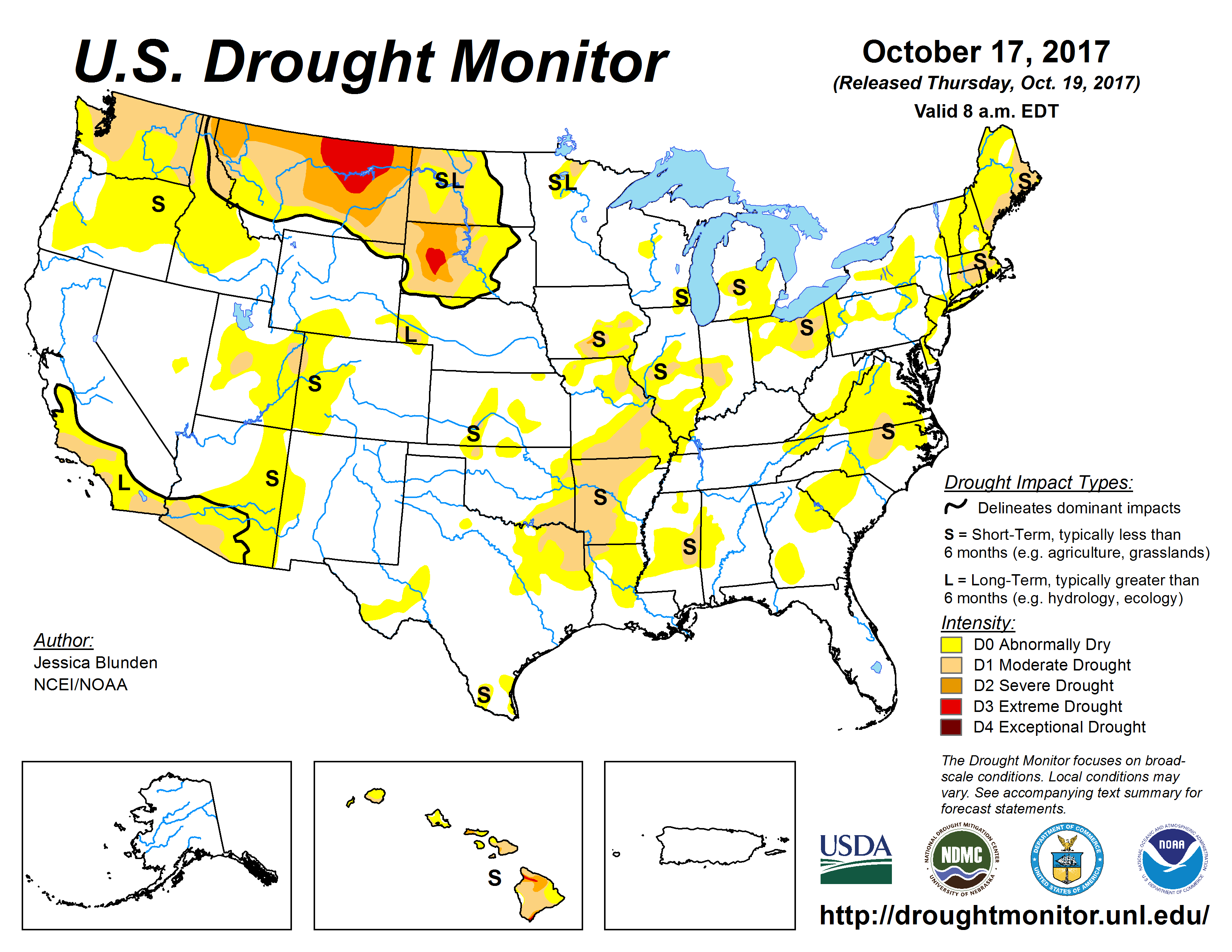
Source: United States Drought Monitor
Droughts have a major impact on the spread of fires. Each week, the National Drought Monitor, a joint product by the National Drought Mitigation Center, the U.S. Department of Agriculture, and the National Oceanic and Atmospheric Administration releases a map of the current drought conditions across the United States. The map is based on many data sources including: rainfall, snowpack, stream flow, surface and groundwater levels, and current impacts on agriculture.