Geography
Source: Generalized Geologic Map of North Carolina 2005 | SCGS
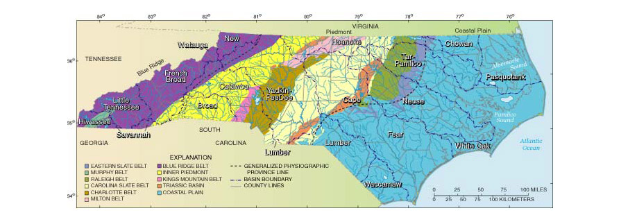
There are many geographic features that help determine the climate and weather events that are seen across North Carolina. The three principal physiographic divisions of the eastern United States are particularly well defined in North Carolina. From east to west, they are the Coastal Plain, the Piedmont, and the Mountains.
North Carolina stretches from 33° 50' N to 36° 35' N (Latitude) and 75° 28' W to 84° 19' W(Longitude). Which makes the state roughly 187 miles wide and 560 miles long.
Bodies of Water: Only 9.5% of the area of the state is considered water. The state’s coastline spans 301 miles along the Atlantic Ocean. Some of the major lakes within the state are: Lake Norman, Lake Waccamaw, Lake Gaston and Jordan Lake. Major river systems include the Cape Fear River, Neuse River, Santee River, and the Yadkin-PeeDee River.
Elevation Changes: Elevation changes across the state range from sea level along the Inner and Outer Banks to the highest point at Mount Mitchell (6,684 ft.) in Yancey County.
Prevailing Winds: The westerly prevailing winds are found between 30°N and 60°N, and these prevailing winds help steer large scale weather systems and have a large impact on the weather and climate of North Carolina. Winds are primarily out of the southwest during the summer and from the northwest during the winter.