Geography
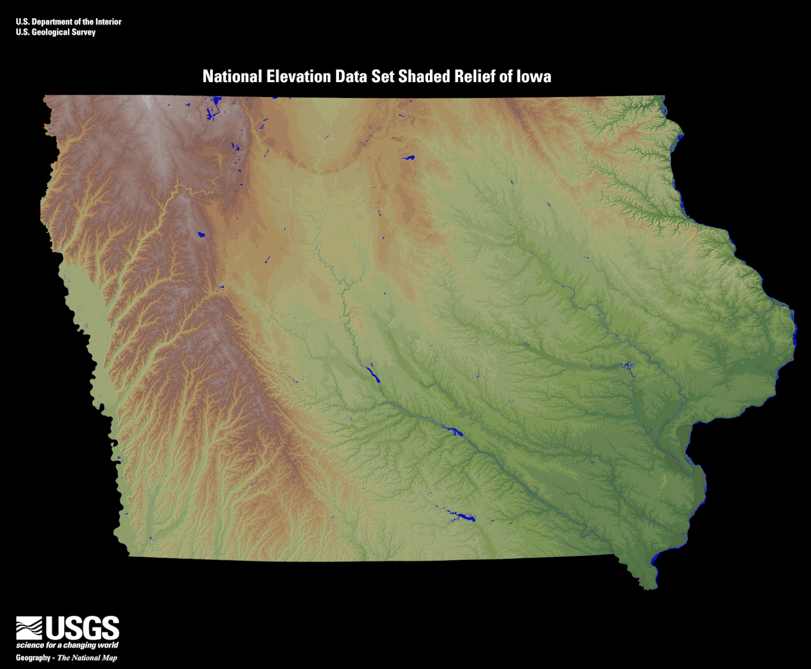
Iowa is ranked as the 26th largest state in the United States by area, with a population of 3.1 million people (31st). Many geographic features help determine the climate and weather events that are seen across the state. There are seven physiographic regions identified in Iowa. They are the Des Moines Lobe, Southern Iowa Drift Plain, Loess Hills, Iowan Surface, Northwest Iowa Plains, Paleozoic Plateau, and the Alluvial Plains.
Iowa stretches from 40°23' N to 43° 30′ N (Latitude) and 90°08′ W
to 96° 38′ W (Longitude), which makes the state roughly 240 miles
wide and 310 miles long.
Some of the major lakes within the state are Lake Red Rock, Okoboji
Lake, Rathbun Lake, and Saylorville Lake. Major river systems
include the Cedar, Des Moines, Mississippi, Missouri, Platte, and
Wapsipinicon rivers.
The lowest point of the state is at the confluence of the Mississippi
and Des Moines rivers (480 ft.) and the highest point at Hawkeye
Point (1,671 ft.), north of Sibley in Osceola County.
The prevailing westerly winds are found between 30˚N and 60˚N, while
the easterly trade winds are located between the equator and 30˚N.
These prevailing winds help steer large scale weather systems and have
a significant impact on the weather and climate of portions of Iowa.

Source: Iowa Relief Map | EROS