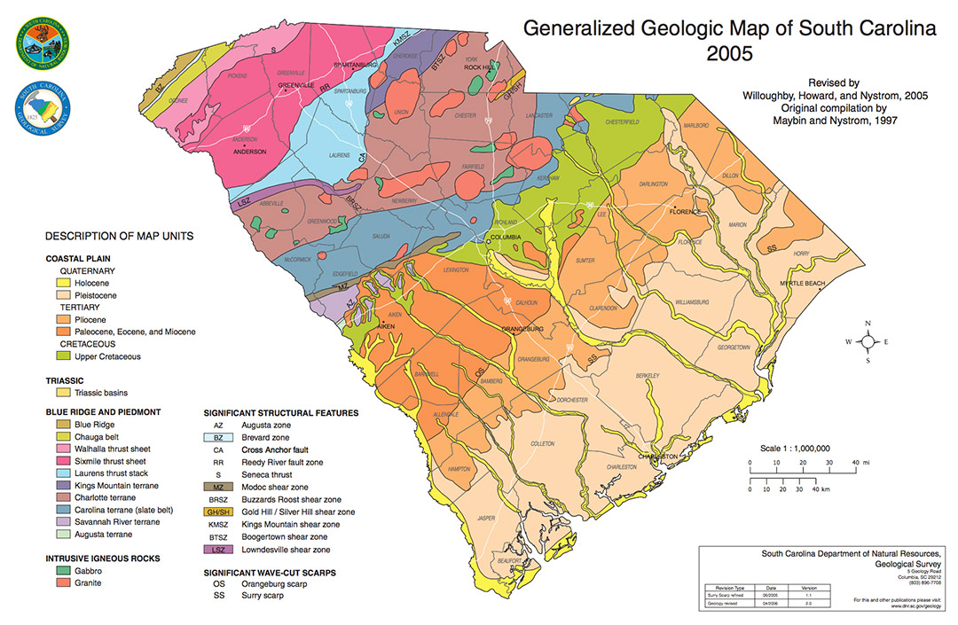
Geography
There are many geographic features that help determine the climate and weather events that are seen across South Carolina.
South Carolina stretches from 32°2'N to 35°13'N (Latitude) and 78°32' to 83°21' W (Longitude). Which makes the state roughly 200 miles wide and 260 miles long.
Bodies of Water: Only 6% of the area of the state is considered water. The state’s coastline spans 187 miles along the Atlantic Ocean. Some of the major lakes within the state are: Lake Marion, Lake Strom Thurmond, Lake Moultrie and Lake Hartwell. Major river systems include the Santee River, Edisto River and the Savannah River.
Elevation Changes: Elevation changes across the state range from sea level along the eastern coast of the state to the highest point at Sassafras Mountain (3,560 ft.) in Pickens County.
Prevailing Winds: The westerly prevailing winds are found between 30°N and 60°N, and these prevailing winds help steer large scale weather systems and have a large impact on the weather and climate of South Carolina. Winds are primarily out of the southwest during the summer and from the northwest during the winter.
