Winter Weather
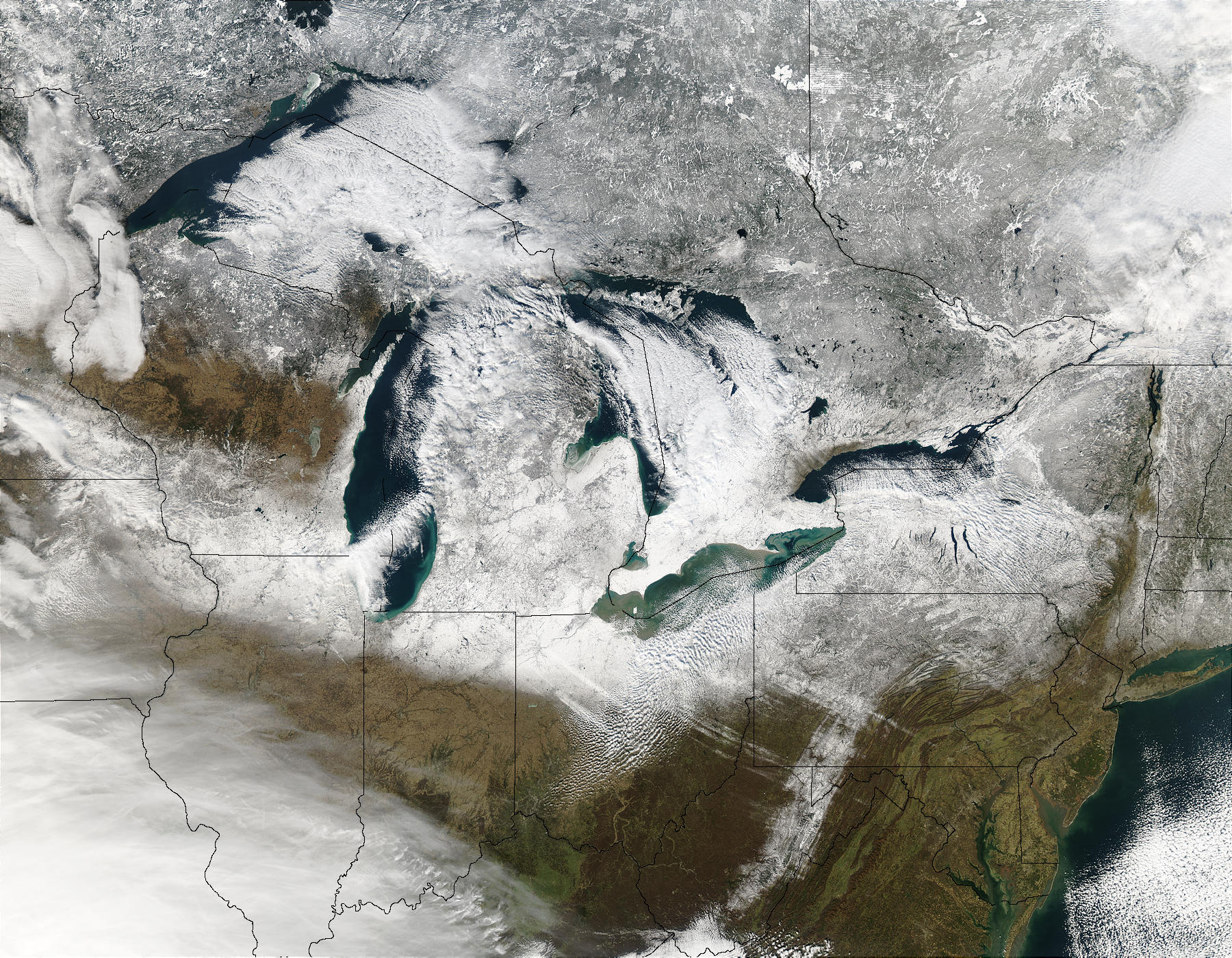
Annually, Michigan experiences a plethora of winter storms and wintry precipitation events. Along the Great Lakes region, lake effect snows are responsible for a majority of the total of the annual snowfall. Lake Effect Snow forms on the downwind side of a body of water with a concave coastline, such as a lake. The state is also susceptible to blizzards, which are intense winter storms with heavy snowfall, winds of at least 35 miles per hour and very low visibility.
Average annual amounts of snowfall increase rapidly from the south to north. About 30 inches fall over the southeastern portion of the state, with over 150 inches recorded in the Upper Peninsula near Marquette, MI. Variations in snowfall, both seasonal and from place to place cover a wide range.

Source: NASA
Did You Know?
The record amount of snowfall in a 24-hour period is 32 inches observed on December 2, 1985, in Herman, MI (Baraga County). The record snowfall depth for the state is 117 inches, which occurred in Eagle Harbor, MI (Keweenaw County) in January 1948.
Regardless of location, sub-zero temperatures are possible throughout the state during the winter months.