Winter Weather
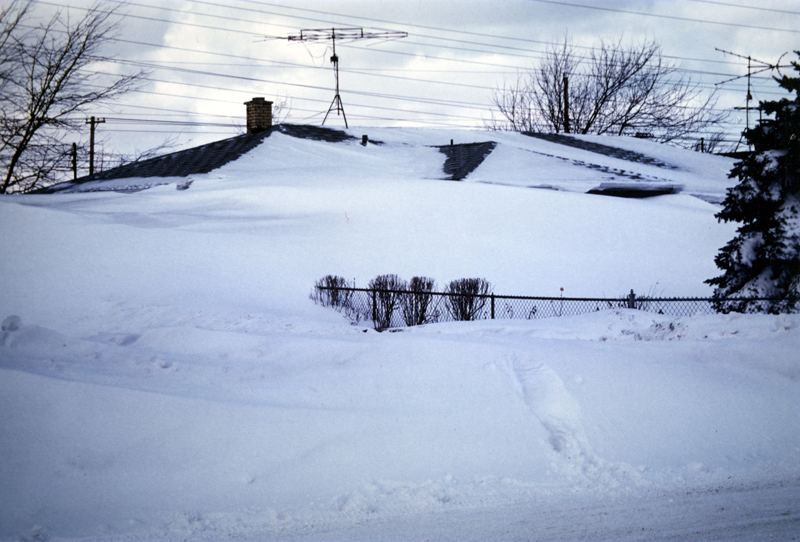
Annually, New York experiences a plethora of winter storms and wintry precipitation events. Coastal storms, called Nor’easters, can impact the region because of the state’s proximity to the Atlantic Ocean, where these storms form. Strong northeasterly winds blow in from the ocean ahead of the storm. In addition to heavy snow and rainfall, the high winds and waves can cause significant erosion along the state’s coastline. The state is also susceptible to blizzards, which are Intense winter storms with heavy snowfall, winds of at least 35 miles per hour and very low visibility. Along the Great Lakes region, lake effect snows are responsible for a majority of the total of the annual snowfall. Lake Effect Snow forms on the downwind side of a body of water with a concave coastline, such as a lake.
Average annual amounts of snowfall increase rapidly from the coast westward. About 25 to 30 inches fall over Long Island and the Hudson Valley with 60 to 80 inches recorded in the western portions of the state. Variations in snowfall, both seasonal and from place to place cover a wide range. Amounts sometimes are less than four inches for an entire season on Long Island to well over 100 inches in many locations near the Great Lakes.
Regardless of location, sub-zero temperatures are possible throughout the state during the winter months.
Source: Wikimedia Commons
Did You Know?
The record amount of snowfall in a 24-hour period is 49 inches observed on November 14-15, 1900, in Watertown, NY (Jefferson County). An unofficial, but widely accepted 24-hr snowfall observation of 54 inches was recorded at Barnes Corner (Tug Hill Plateau) in January 1976.
The record snowfall depth for the state is 119 inches, which occurred in Whiteface Mountain, NY (Essex County) in April 1943.