Types of Events
There are mainly two types of lake effect snow events:
Source: Incredible Lake Effect Snowfall in Buffalo NY - 4-day Radar Animation | Facethewind | YouTube
This type of event happens on lakes with long fetches, like Lake Erie and Lake Ontario, because the prevailing winter winds are from the west or west-southwest. On November 18-21, 2014, areas of upstate New York received nearly 85" (or over 7') of lake effect snow. The combination of very cold air temperatures (0°F recorded by a weather balloon only 5,000 feet above the ground), the 48°F lake water and westerly winds, turned Lake Erie in a snowmaking machine. The snow caused damage to power lines and roads, and trapped people in their houses. Heavy flooding resulted when the snow melted.
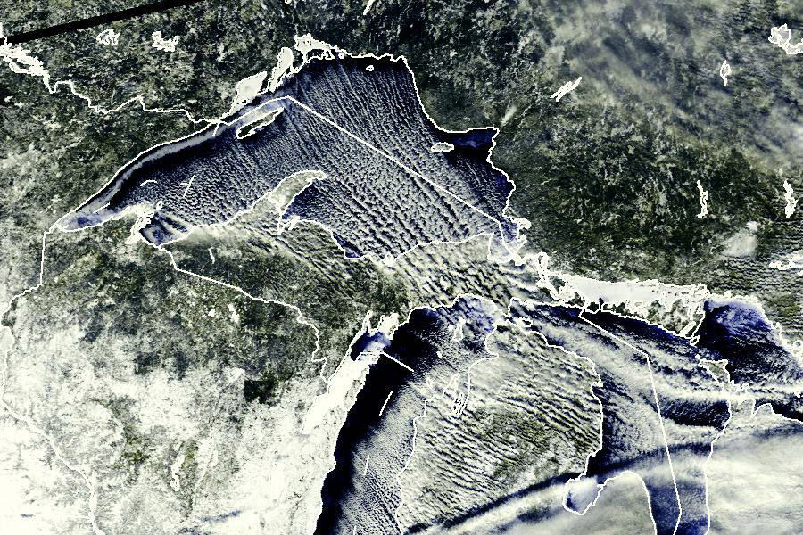
Source: SERC | NSF
Multi-bands of lake effect snow are weaker and shallower than single band events, which do not bring as much snow. These events are typically the result of “cloud streets,” when warm air rises, condense and form clouds. Once the clouds reach buoyancy, the air on either side of the clouds begins to sink, creating areas of clear air. These bands are most commonly found downwind of Lake Huron, Lake Michigan and Lake Superior.