Indirect Measurement - Proxy Data
Paleoclimatologist use proxy data to find out what the climate of the Earth has been over the last several thousand years. This proxy data can stand in for direct measurements because it contains physical characteristics of the climate during certain time periods. Proxy data can be separated into 3 main categories. Let’s find out more about each.
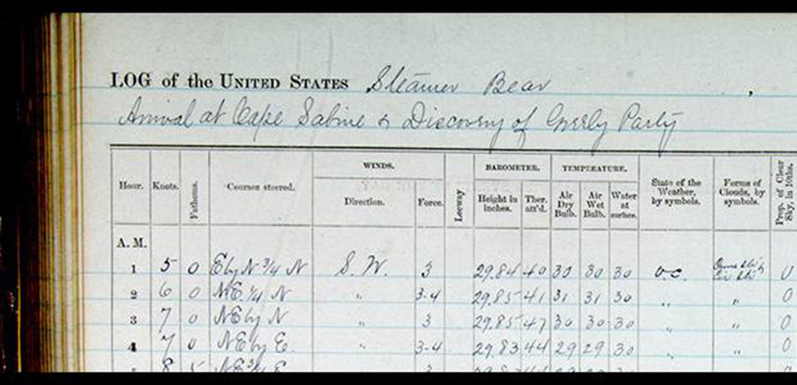
Historical Data - Historical accounts are sometimes used to infer the past climates. They contain a wealth of information, both qualitative and quantitative, and can come from a number of sources such as ships logs, farmer diaries, traveler memos, and newspapers. From historical data, we know that Paris had very high grape yields from 1370 to 1879, Sea ice extent around Iceland since 1780, and records of plentiful years and famine years in African tribes.
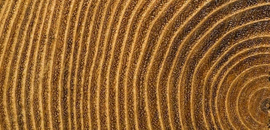
Biological Data - Biological data tell us the responses of living organisms to changes in past climate. Vegetation is dependent on climate, so the evaluation of previous vegetation is a great climatic sensor. The study of dendrochronology (tree rings) can give information on both favorable and unfavorable grow periods based on the size of the rings. The distribution of pollen in ice caves and sediment samples from the soil and sea floor can show the type and changes of vegetation that grew in an area. Studying fossils in a given area can give additional climate information about vegetation and the species of grazing animals and predators found.
Source: Paleoclimate Records | NOAA
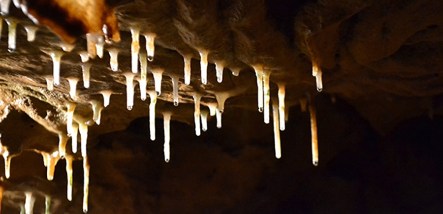
Geological Data - Geological proxy data show evidence of past glaciers (large rivers of ice), ice sheets, and sediments. These data give us information about the movement of glaciers (mountain and continental) and the transport of soil and rocks as well as trace elements and minerals present in the air and water during past climates. Calcium deposits in stalactites in caves can be used as proxies because they form in annual rings, like trees. Since they form from dripping water, the amount of formation each year is an indicator of periods of high precipitation or drought.
Source: Picture Climate: What Can We Learn From Caves? | NOAA