Geography
Source: Massachusetts Relief 1 | WikiMedia
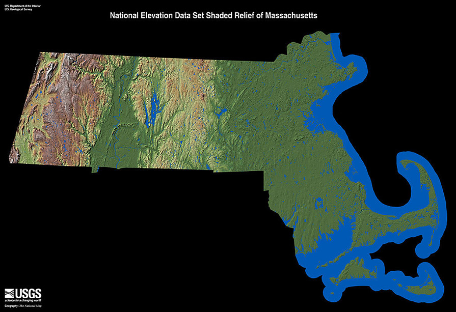
There are many geographic features that help determine the climate and weather events that are seen across Massachusetts. There are principal physiographic divisions that are particularly well defined in Massachusetts. From east to west, they are the Coastal Plain, the New England uplands, the Pioneer Valley, and the Berkshire and Taconic Mountains.
Massachusetts stretches from 41° 14' N to 42° 53' N (Latitude) and 69° 56' W to 73° 30' W (Longitude). Which makes the state roughly 183 miles wide and 113 miles long.
25.7% of the area of the state is considered water. The state’s coastline spans 192 miles along the Atlantic Ocean. Some of the major lakes within the state are the Quabbin Reservoir (the largest man-made lake in the US), Webster Lake, and the Otis Reservoir. Major river systems include the Connecticut, Deerfield, Westfield, Chicopee and Charles rivers.
Elevation Changes: Elevation changes across the state range from sea level along the Coastal Plain to the highest point at Mount Greylock (3,491 ft.) in Berkshire County.
Prevailing Winds: The westerly prevailing winds are found between 30°N and 60°N, and these prevailing winds help steer large scale weather systems and have a large impact on the weather and climate of Massachusetts. Winds are primarily out of the southwest during the summer and from the northwest during the winter.
