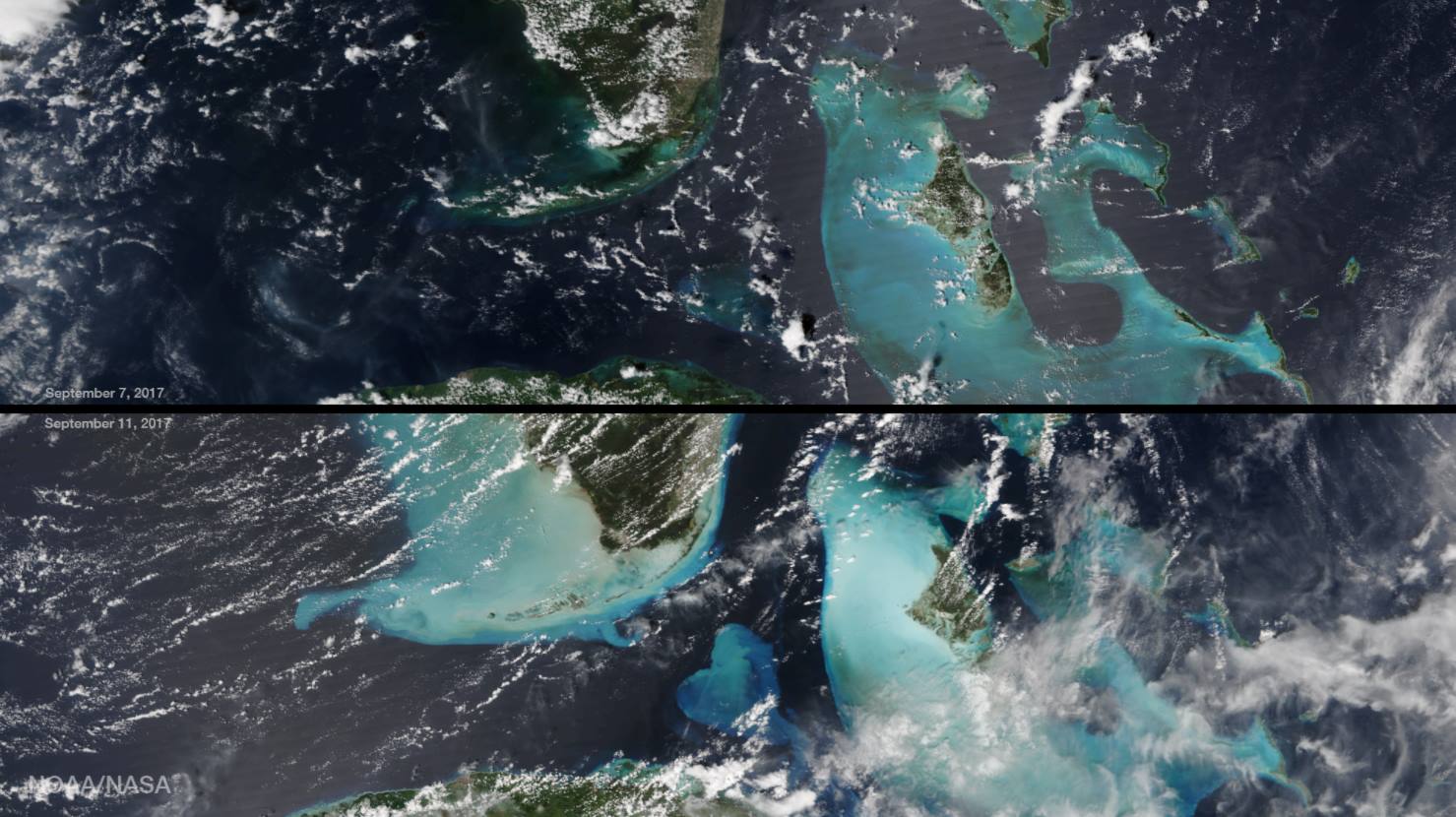
Sand Displacement
The impacts of Hurricane Irma were not just confined to land. The intense storm kicked up sediment and sand along the coastlines of locations in and along its path. An instrument on the NOAA/NASA Suomi NPP Satellite captured before-and-after images of these impacts from Hurricane Irma.

Source: NASA/NOAA
The VIIRS instrument combines the red, green and blue (or RGB) wavelengths of light and can create a true-color image that looks like a photograph. The two images were taken just 4-days apart, September 7th and 11th, and the light blue color shows the sand and sediment suspended in the water after Irma passed over the Florida Keys.
You can learn more about the mission of this satellite and its onboard instruments via this link provided by NASA.