The Four Core Cloud Types
While clouds come in many shapes and sizes, there are four main categories of clouds:
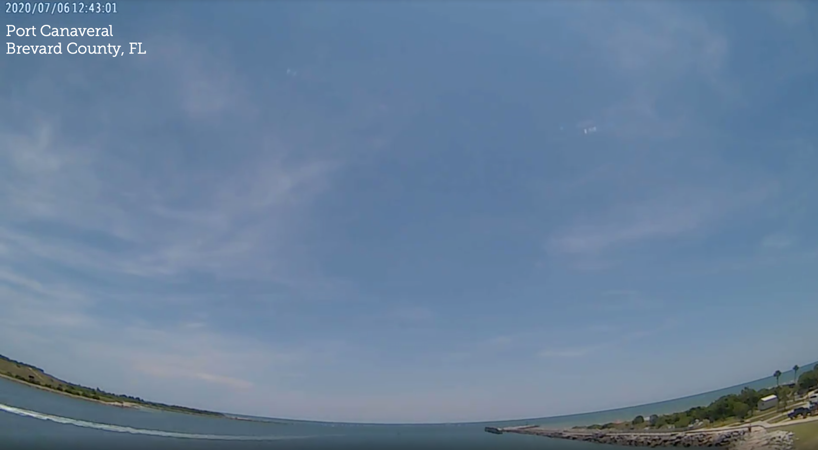
From the Latin word meaning 'curl of hair,' these wispy clouds are composed
mainly of ice crystals and are observed at high altitudes that range in height
from 15,000 ft. to 45,000 ft. in the Mid-Latitudes. They usually appear ahead
of storm systems.

Meaning 'layer' in Latin; these clouds are typically broad and widespread,
covering a large area, and sometimes compared to a blanket across the sky.
These mid-level clouds range in height from 6,500 ft. to 23,000 ft. in the
Mid-Latitudes.

These clouds appear as white fluffy, cotton balls that appear denser than other
clouds. They have flat bases, and the top grows as rising air continues to
condense. These low clouds that range in height from the surface to 6,500 ft. in
the Mid-Latitudes

The Latin word for rain is nimbus, and the majority of precipitation that falls
comes from nimbo-form clouds. Nimbus clouds are typically mid-level clouds that
range in height from 6,500 ft to 23,000 ft in the Mid-Latitudes.

One effect of the jet stream is that the tropopause's maximum altitude decreases from the equator to the poles. And because of this, the elevations at which clouds occur also decreases. Use the interactive on the next slide to explore the cloud groups based on the height of the cloud's base (high/middle/low) above the Earth's surface in the Mid-Latitudes.