How Models are Created
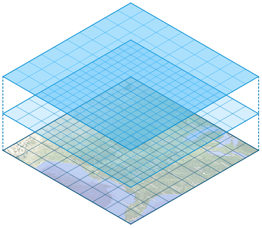
Changes in atmospheric variables are computed for a set increment of time over a large number of locations. These locations are called grid points and represent data at the surface and multiple levels in the atmosphere. Computers use these data to predict weather over a specific time increment. This is done numerous times to come up with a forecast on a map called a prognostic chart, or prog for short.
- A prog is used as a guide to predict the weather, but a meteorologist will also look at current observations, and rely on their expertise and knowledge to make forecasts.
- All models have strengths and limitations, and meteorologist are aware of which models perform the best in certain situations.