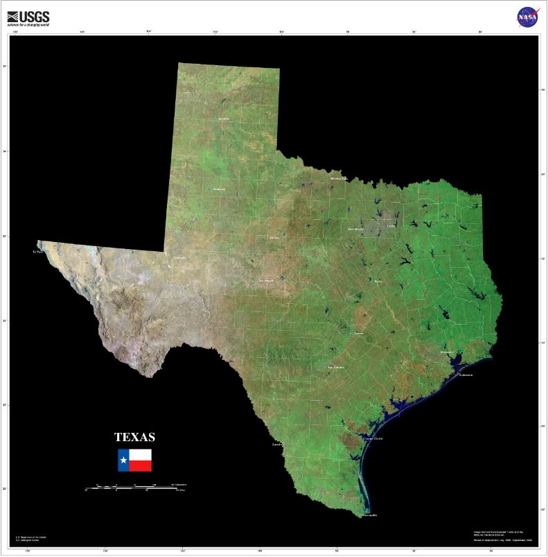
Geography
Texas is the second largest state in the United States by both population and area. Many geographic features help determine the climate and weather events that are seen across Texas. There are several principal physiographic regions and separate divisions that are well defined in Texas. They consist of the Coastal Prairies, Gulf Coastal Plain, the Blackland Prairie, the Grand Prairie, the Edwards Plateau, The Central Texas Uplift, the North-Central Plains, The High Plains, and the Trans Pecos Basin and Range.
Texas stretches from 25° 50' N to 36° 30′ N (Latitude) and 93° 31′ W
to 106° 439′ W (Longitude). Which makes the state roughly 773 miles
wide and 7900 miles long.
Only 2.5% of the area of the state is considered water, though the
state has more than 80,000 miles of waterways. Some of the major
lakes within the state are man-made reservoirs; which include the
Toledo Bend, Samy Rayburn, and Richland-Chambers reservoirs. Major
river systems include the Rio Grande, Colorado, Red, Brazos, Pecos,
and San Antonio rivers.
Elevation changes across the state range from sea level along the
Gulf of Mexico to the highest point at Guadalupe Peak (8,751 ft.) in
the Guadalupe Mountains National Park in Culberson County.
The prevailing westerly winds are found between 30˚N and 60˚N, while
the easterly trade winds are found between the equator and 30˚N.
These prevailing winds help steer large scale weather systems and
have a significant impact on the weather and climate of portions of
Texas.