What Do You Think?
Great Job! Keep learning about measuring and predicting weather.
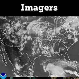
Instruments on satellites that measure infrared and visible light to measure weather conditions
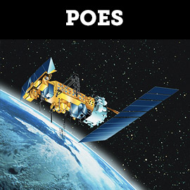
Satellites that orbit the Earth from North to South, transmitting weather data
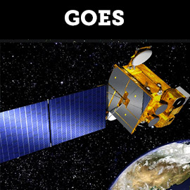
Satellites that transmit continuous data from their orbit above the equator
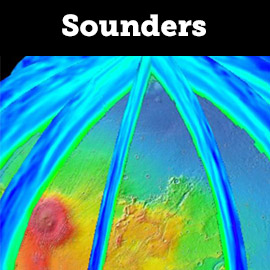
Instruments on satellites that use Infrared light to provide vertical profiles of temperature, pressure and water vapor


