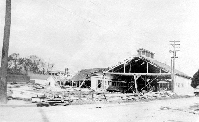
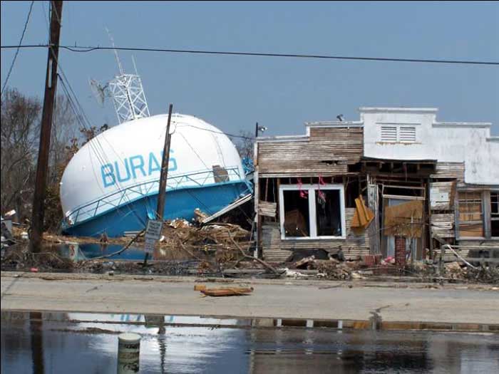
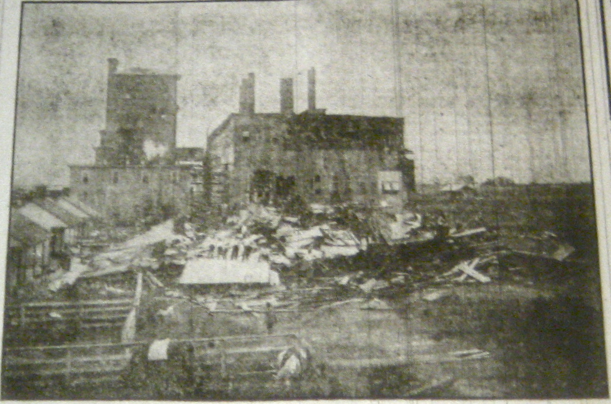
This hurricane caused the most significant loss of life in Louisiana history. The hurricane made landfall between New Orleans and Port Eads at dusk on October 1. Wind speeds were estimated to be over 100 mph in Grand Isle. The storm surge was as high as 15 feet in Louisiana Bay and over 16 feet at Chandeleur Island. New Orleans was flooded, and the town of Buras was destroyed entirely. The storm wiped out nearly 60% of Plaquemines' orange crop.
1909 - The Grand Isle Hurricane
This Category 3 hurricane, winds over 120 mph, made landfall between Baton Rouge and New Orleans on September 21. An estimated 15-foot storm surge pushed 2 miles inland, pushing sailing vessels onshore. Most of the mills in Iberia Parish were damaged. The surge caused the Mississippi River to flow backward, flooding low-lying areas. Potions of New Orleans received extensive damage, including damage to coal barges, railroads, communication lines, property, and crops. Growers in southern Louisiana lost nearly 33% of the rice crop and 20% of the cotton crop.
1915 - The New Orleans Hurricane
This high-end Category 3 hurricane, with winds upward of 125 mph, made landfall near Grand Isle on September 29. The US Weather Bureau station in New Orleans reported winds as high as 98 mph. A barometer at Tulane University measured a pressure of 952 millibars as the storm passed by the city. Nearly every building in New Orleans sustained damage. The storm surge reached 12 feet at the coast and almost 13 feet on the west end of Lake Pontchartrain. Levees on Lake Pontchartrain were overtopped, submerging much of the western side of New Orleans and parts of Carrollton with 8 feet of water. It took up to four days for the flood water to drain from the city.
1940 - Unnamed Hurricane
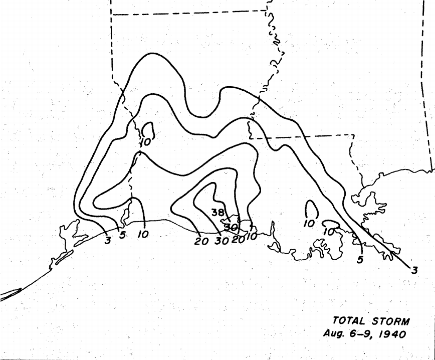
This Category 2 hurricane made landfall near Sabine Pass, Texas, on August 7 and then slowly moved due north, finally dissipating in Arkansas on August 10. Hurricane-force winds extended out about 10 miles from the center of the storm. The peak surge values ranged between 6 - 7 feet and combined with anomalously high tides to flood many of the outlying islands. Most of the damage was caused by the torrential rain due to the storm's slow movement. The US Weather Bureau station at Millers Island recorded 37.50" of rain, while stations in Cameron Lafayette, St. Landry, and Vermilion Parishes recorded between 20 and 30 inches. There were significant losses of crops and livestock across the state, as nearly 2 million acres of land were inundated with at least a foot of water. Much of the low-lying areas remained underwater until October, altering ecosystems.
1957 - Hurricane Audrey
One of the most destructive hurricanes to strike southwestern Louisiana, Hurricane Audrey (Category 3) made landfall near Cameron. An anemometer in Sulphur measured a gust of 105 mph before it blew away and the station at the Lake Charles Air Force Base recorded sustained winds of 96 mph. Storm surge up to 12.5 feet at Cameron, and people fled the storm surge and took refuge in the courthouse; the only building left standing after the storm. The surge pushed ocean debris more than 5 miles inland, and the area inundated by the storm surge reached nearly 20 miles inland. Between 90 -95% of the buildings in Cameron and lower Vermilion Parishes were destroyed. There was a significant loss of livestock (40,000+ head) and wildlife, and extensive corn, cotton, and rice crop losses. Audrey is tied with Alex (2010) as the strongest June hurricane on record in the Atlantic Basin.
1965 - Hurricane Betsy
This powerful Category 4 hurricane made landfall near Grand Isle on September 9, moving at an unusually fast forward speed of 22 mph. As the storm came ashore, winds gusted up to 160 mph near Grand Isle and Houma with sustained winds of 135 mph. The 15-foot storm surge caused devastation from Grand Isle to Mobile, AL. Maximum water elevation records were exceeded on the Mississippi River as a 10-foot surge pushed up the river. As the river rose, ships and barges broke loose from their moorings; many were sunk, some forced aground. Back levees on the east side of the river were topped and broken, allowing water into New Orleans and overloading the pump system before they lost power. Several neighborhoods, including Gentilly and the Lower Ninth Ward in New Orleans and Arabi and Chalmette, were inundated by several feet of water. You can find more information about Hurricane Betsy in this National Weather Service website.
1969 - Hurricane Camille
Made landfall as a Category 5 hurricane in Bay St. Louis, Mississippi, on August 17 but caused damage and destruction across much of the Gulf Coast. Camille passed just to the east of Plaquemines and St. Bernard Parishes, pushing a massive storm surge into the marshes. Ostrica Lock measured a storm surge of 16 feet, and up to 10 feet of water washed over US Highway 90. The surge pushed over the levees on both the east and west bank of the Mississippi River. Eastern portions of St. Tammany and Washington Parishes sustained extensive property damage from Camille's intense winds. Winds gusted over 125 mph at Slidell, and the Boothville Weather Bureau Office observed a maximum wind gust of 107 mph. There was destruction from Venice to Buras. More information on this storm here
1992 - Hurricane Andrew
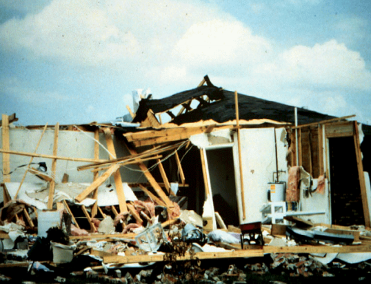
Andrew made landfall near Morgan City in St. Mary Parish during the early morning hours of August 26. Hurricane-force winds caused extensive damage in St. Mary and Iberia parishes. The New Iberia Emergency Operating Center recorded a wind gust of 153 mph. Andrew's rainfall totals ranged from 5 to 12 inches, with Hammond recording 11.92". Several rivers in central Louisiana crested above the flood stage, but flooding was not severe. The highest storm surge reported was 6.5 feet at Bayou Dupre, and the surge moved inland from Lake Borgne to Vermilion Bay. Seven tornadoes touched down in the state, including an F3 tornado that struck LaPlace. The LSU Agriculture Center estimated more than $200 million in damages to crops and extensive damage to the marshlands inundated by salt water from the surge. For more information on the storm: http://www.aoml.noaa.gov/keynotes/keynotes_0817_andrew25.html
2005 - Hurricane Season
Hurricane Season: 2005 was the most active Atlantic hurricane season on record until 2020. The season had 27 named storms, with 15 hurricanes and 7 becoming major hurricanes. The hardest hit area during the season was the Gulf Coast, with three hurricanes made landfall along the Louisiana coast; Cindy (Category 1), Katrina (Category 3), and Rita (Category 3). Cindy made landfall near Grand Isle in early July, Katrina made landfall near Buras-Triumph, LA at the end of August, and Rita made landfall near the Texas/Louisiana border on September 24. See the linked reports more information on Hurricane Katrina and Hurricane Rita.
2020 - Hurricane Laura
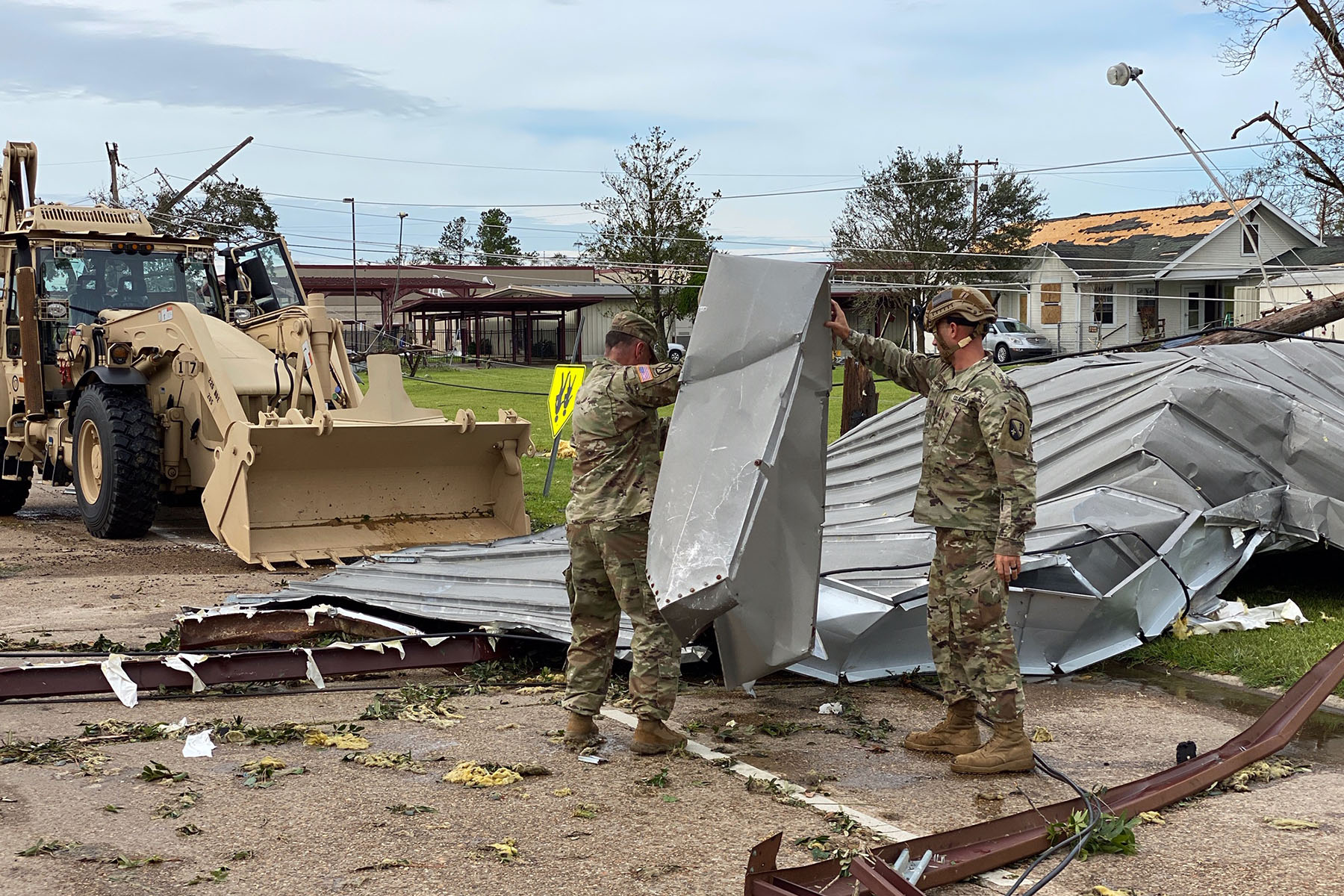
Hurricane Laura, a Category 4 hurricane, made landfall near Cameron, Louisiana with winds speeds over 140 mph. Storm surge reached 10 feet in Cameron Parish, flooding one of the main roads out of the area and causing extensive damage in Holly Beach and Grand Lake. Widespread and extensive damage to residential and commercial structures was reported across the Lake Charles area. The Lake Charles Regional Airport measured a wind gust of 128 mph, and the National Weather Service radar was completely destroyed due to the intense winds. Tied with Hurricane Ida and the 1856 Last Island Hurricane as the strongest hurricane on record to make landfall along the Louisiana coast. Check out this report from the National Hurricane Center more information on Hurricane Laura.